Colorado Landscapes
Click on any one of the photos below to see the photos in full-screen. Then scroll through the photos using the arrows on the left and right.
To remove the text, click on the “i”. To remove the filmstrip at the bottom, click on the little arrow just above.
Click on photo for large image.
Turn horizontal for landscape photos
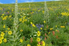
Frasera speciosa on West Maroon Trail
Loraine Yeatts took this photo, called"Frasera speciosa Meadow", on the West Maroon Trail, that starts 0.6mi. west of Scofield Pass and goes to Harley Pass. This is a very popular 20.4 mile (out and back) trail in Eagle County.
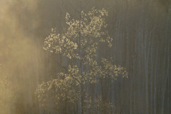
Cottonwoods on the South Platte River
This photo of Cottonwoods on the S. Platte River in winter was taken by Skot Laytona somewhere along the South Platte River. The headwaters of the South Platte originate in South Park in Park County between Fairplay and Hartsel and flows down the Front Range and across the eastern plains to Nebraska and from there to the Missouri River, a total length of 439 miles. Photo by Skot Latona.
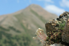
Trail 403 & Gothic Peak
This photo of Saxifraga austromontana was taken by Tom Zeiner on Trail 403 near Crested butte. The mountain in the background is Gothic Peak a 12,631-foot mountain in the Gunnison National Forest in the Elk Mountains in Gunnison County. Trail 403 is a well known and used wildflower hike which is a moderately difficult 7.5 mile hike.
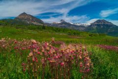
Mt. Cimarrona, Hinsdale County
This photo by Carol McGowan is of Mt Cimarrona in the San Juan Mountains, in Hinsdale County. Mt. Cimarrona is 12,577'. There is a campground with 21 sites on Forest Road 640. Cimarrona Trail is an 8 mile trail that climbs the Peak.
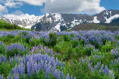
Last Dollar Road
Bruce Tohill took this photo of Silvery Lupine along Last Dollar Road. This bumpy dirt road runs from Telluride to Ridgeway through some gorgeous vistas of flowers and mountains. It takes 2-3 hours to drive and does not require a 4-wheel drive vehicle, but it is a challenging road best avoided after rain. It was used as a mining supply road in the 1800s.
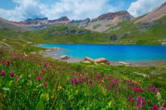
Ice Lake, San Juan National Forest
Sue McGowan took this photo of Ice Lake, which is located in the San Juan National Forest near Silverton Colorado. The trail to the lake is 8.2 miles long and goes through two lake basins filled with wildflowers and past numerous waterfalls with beautiful peaks in the background.
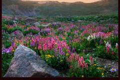
Castilleja at Jones Pass Sunset
Bruce Tohill took this photo of Castilleja at Jones Pass in Clear Creek County. Jones Pass is a 12,454 pass located beyond Empire. Jones Pass Road begins just before the first big curve at the bottom of Berthoud Pass west of Empire. It is 7.5 mile out and back drive on a dirt road that is maintained by the Arapaho National Forest. There are excellent wildflowers, remnants of Colorado mining history and gorgous alpine views. Fine for 2-drive cars with good clearance.
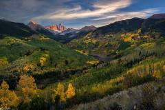
Capitol Creek with Daly and Capitol Peaks
William Bowman took this photo at Capitol Creek with Daly and Capitol Peaks in the background. Capitol Creek is south of Basalt. Mount Daly is located in the Maroon Bells-Snowmass Wilderness Area and is 13,300 feet tall. Capitol Peak is 14,130' tall. The Capitol Peak Trail (15.1 miles) starts at Snowmass Village and climbs 5,029' to the saddle between Capitol and Daly Peaks.
