Colorado Landscapes
Click on any one of the photos below to see the photos in full-screen. Then scroll through the photos using the arrows on the left and right.
To remove the text, click on the “i”. To remove the filmstrip at the bottom, click on the little arrow just above.
Click on photo for large image.
Turn horizontal for landscape photos
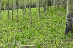
Aspen Forest Dunkley Pass, Routt National Forest
An aspen forest, near Chapman Reservoir, Dunckly Pass, Routt National Forest, Routt County. There is a nice campground on the reservoir. Photo by Mo Ewing.
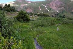
Loveland Lakes, Loveland Pass, Summit County
Loveland Lakes are located at the top of Loveland Pass (11,990\') off Route 6 in Summit County. There is a loop trail which goes around two of the lakes and is about 0.8 miles long. This is a wonderful place to view alpine wildflowers. Photo by Mo Ewing
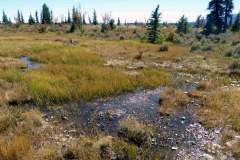
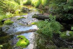
High Creek Fen, South Park, Park County.
High Creek Fen, South Park, Park County. An example of the rare extreme rich fens in the subalpine at 10,000 feet altitude. Photo by Mo Ewing
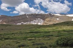
Horseshoe Cirque, Mosquito Range, Park County
Horseshoe Cirque and alpine meadow, Mosquito Range, Park County. This is an extraordinarily perfect example of a cirque carved out by glaciers over millennia. The cirque faces northeast. Photo by Mo Ewing
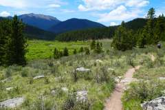
East Lost Park, Lost Creek Wilderness, Park County
East Lost Park, Lost Creek Wilderness, Park County. This is an example of one of the lovely subalpine parks in the area. There is a small campground with trails that access the mountain parks. Photo by Mo Ewing
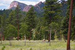
Staunton State Park, Park and Jefferson Counties
The 3,828 acre Staunton State Park, was opened to the public on May 18, 2013. The park is located approximately 40 miles southwest of downtown Denver, north of US Highway 285 in Jefferson and Park Counties. Its elevation ranges from 8,100 to 10,000 feet and has a wide range of plant communities makes for excellent wildflower hikes. Photo by Mo Ewing.
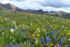
Subalpine Meadow, West Elk Mountains, Gunnison County
Subalpine Meadow, West Elk Mountains, Gunnison County. Photo by Loraine Yeatts.
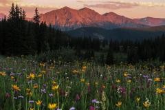
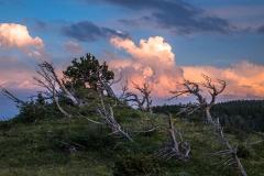
Gore Mountains Sunset
This photo by Ed Ogle, called "Watching the Sunset" was taken by in a very remote location in the Gore Range North of Copper Mountain and West of Frisco.
