This article is re-printed here from The Bog Blogger, with the kind permission of Grant McKown, author, and Sarah Dodgin, blog owner. Great photos all by Mr. Mckown.
My crew and I were expecting a nice graminoid meadow – one that had been flooded early on in the spring but now dry in early July – with dry, firm soil within a larger vegetative drainage outside Dinosaur National Monument. But within a few hours of sampling the lush meadow, I found myself holding onto my crewmate Ben with all my might as I teetered on losing my boot into a deep liquidy hole. He slowly lifted me and now fully muddy Muk boot out onto the wet, soft ground. Ben began pushing down his legs to induce waterbed-esque ripples through the ground. He laughed like a 5-year-old as the vegetation undulated up and down. I stood there stunned and confused. Wait, what was happening right now? I thought I was in the desert – a place that only receives 35 days of precipitation??
Ben and Rachel, my other crewmate, continued to be mesmerized about what was beneath their feet and kept bouncing. It was their first time in a peatland.
What Were We Doing Out There?
This summer I have been leading a three-person crew surveying wetlands across the state of Colorado on Bureau of Land Management land with the Colorado Natural Heritage Program (I know, what a mouthful). For the non-West Coasters in the audience, the BLM manages over 10% of the nation’s lands with over 8 million acres in the state of Colorado alone! The BLM is tasked with managing the land for multiple uses including mineral development, indigenous partnerships, and, yes, conservation. The Assessment and Inventory Monitoring Program (or AIM if you prefer fewer syllables) gathers data on the conditions of uplands, streams, and, now, riparian and wetland systems. Hundreds of technicians, botanists, hydrologists, and ecologists spread out across the western United States and Alaska to sample possibly thousands of sites each year! The publicly available data from the AIM program provides both snapshots of the conditions of specific sites and broader landscape-wide trends that the BLM can use to better manage the land. For example, they can determine if unique wetland sites should be conserved and prevent mining, groundwater extraction, or cattle grazing on the site.
Originally, the AIM program focused primarily on terrestrial ecosystems (uplands). Think sagebrush, juniper and pine forests, desert, and grasslands – the places you don’t expect much water to flow throughout the year. Next, they added the lotic, or stream monitoring, to the program to have a better idea of the conditions of the physical waterways across BLM land. Finally, in 2019, the BLM deemed it crucial to focus on wetlands across the western US given their critical importance to supporting biodiversity and wildlife. For example, in Colorado wetlands only account for 1 – 2% of the land surface but support over 90% of wildlife at some stage of their lifecycle! The Wetland and Riparian AIM program collects data on a whole host of metrics to not only capture the snapshot of a wetland or stream in 2022, but also to better understand the history of the site by examining the vegetation community, digging a 50 cm soil pit, collecting water quality samples, and documenting any disturbances to the wetland condition. Essentially, when my crew and I visit a wetland site, we try to understand the environmental and hydrologic conditions driving the vegetatative community, the human and natural disturbances impacting the wetland, and the historic hydrology. But honestly, it feels like we’re playing in the mud most days.
Trekking Up The Vegetated Drainage
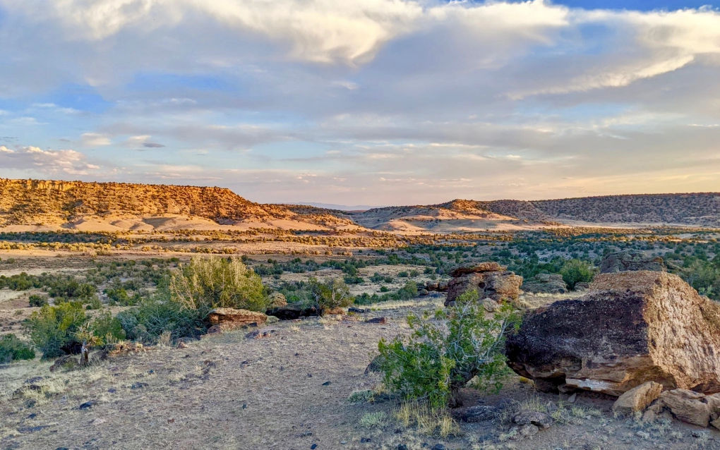
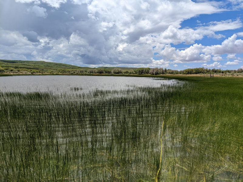
My crew had been out through the month of June surveying springheads in southwest Colorado, marshes around Grand Junction, and riparian floodplains north of Rifle. Now, we were sandwiched between Dinosaur National Monument and the namesake town on the Buckwater Ridge. The whole mesa stood between 7500 – 8200 feet above sea level and was a sea of sagebrush (Artemesia) and rabbitbrush (Chysothamanus) broken up by dramatic clay and red streaked canyons. Slopes up large hills and down into the canyons were covered by junipers (Juniperus) and various pines. From time to time, bright green vegetated drainages meandered through the dry landscape. The landscape was parched as dust flowed up into the air wherever we drove. The only water sources on the landscape were various stock ponds created to support the cattle grazing on BLM land.
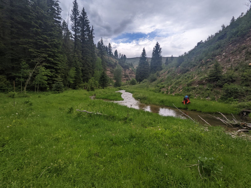
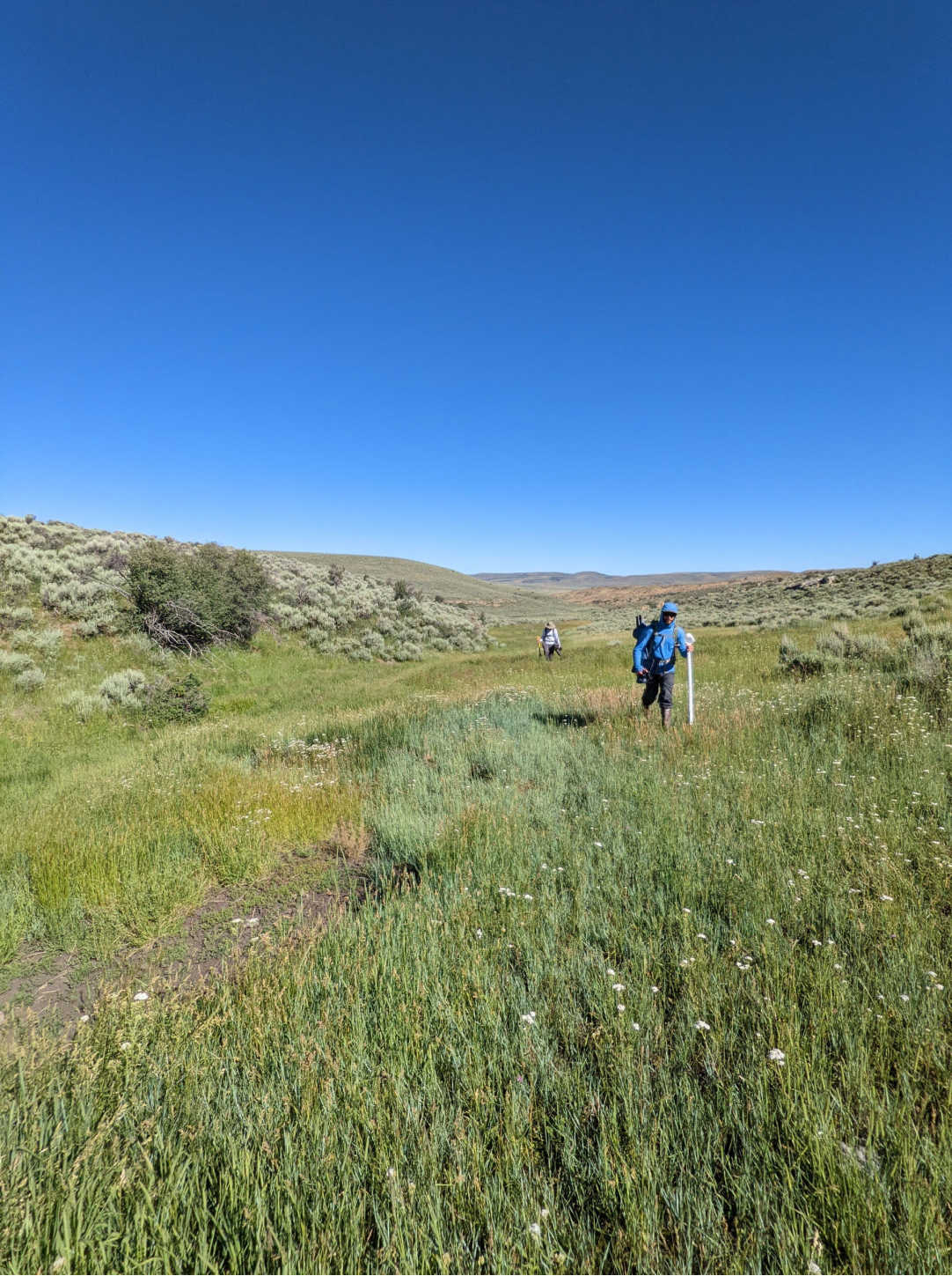
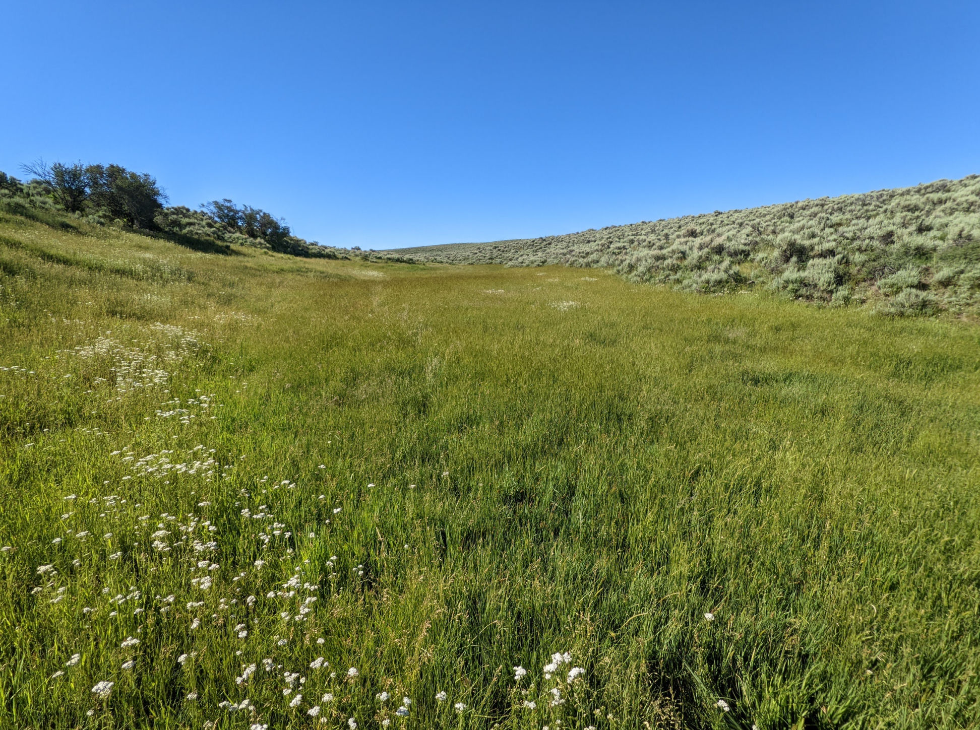
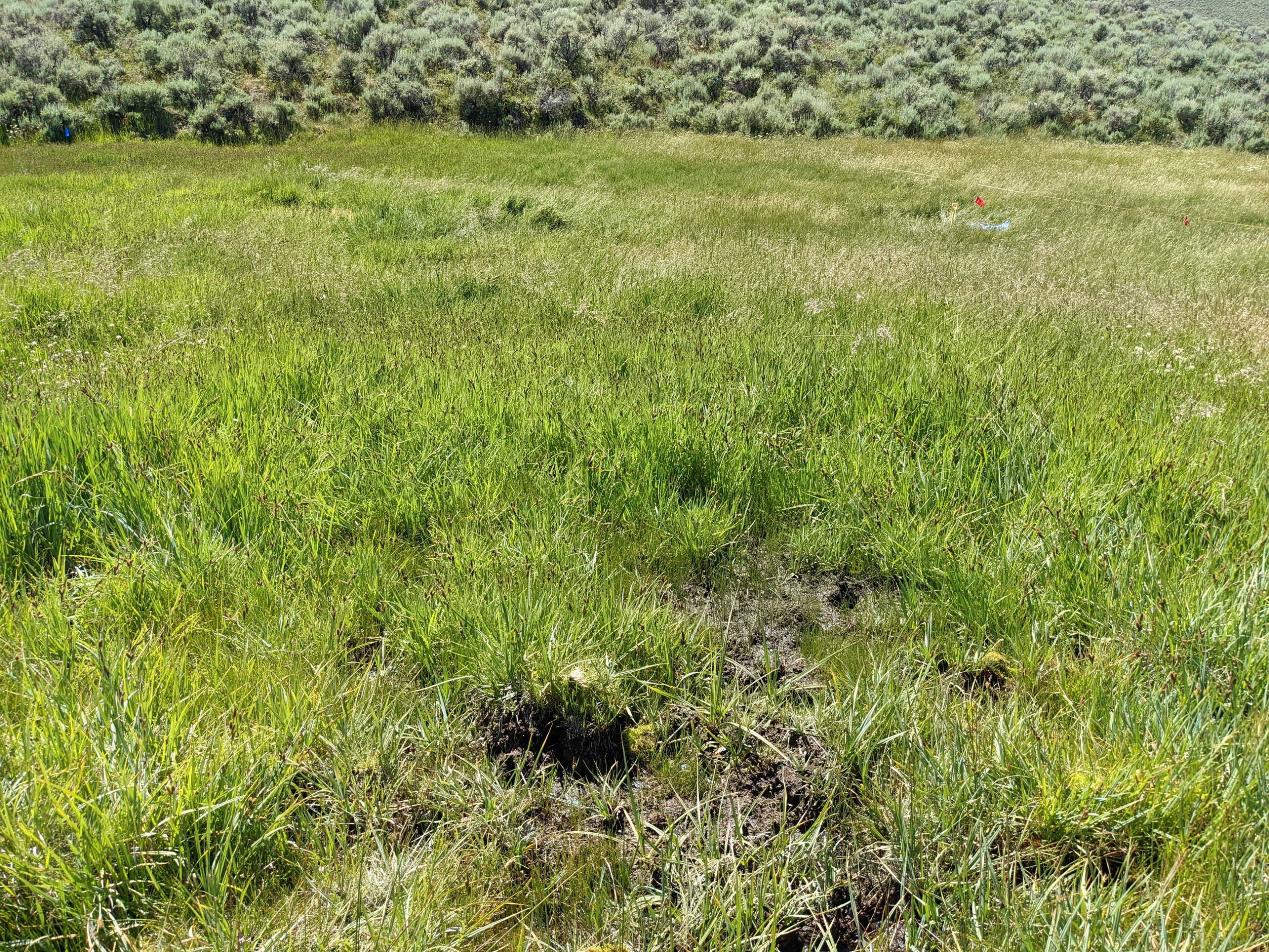
On the fourth day of our hitch, we drove off the main road between the national monument and the town Dinosaur along a grassy two-track dirt road to a vegetated drainage. We packed up all of our supplies, a hearty day’s worth of food and water, and set out in our Muk Boots. The site was roughly half a mile up a wide vegetated drainage. From time to time, the ground would become soft and soggy as Timothy Grass (Phleum pratense) and Kentucky Blue Grass (Poa pratensis) would shift to Northwest Territory Sedge (Carex utriculata) and Arctic Rush (Juncus arcticus). Small pink flowers of Fringed Willowherb (Epilobium ciliatum) and yellow puff balls of Dandelion (Taraxacum officinale) would sneak out through the grasses. After we precariously hopped over a barbed wire fence, the vegetated drainage opened to a wide, gently sloping meadow. Lush green grass and rushes swept up the slopes and starkly transitioned into sagebrush and junipers all the way up the ridgelines. Cattle trails lined one side of the meadow. Like so many sites throughout this summer, it was quiet – no trucks or cars, planes, or another human. All you could hear was the wind smoothly whistling through the leaves and seedheads of the meadow grasses. There’s no way there could be water here!
On left – Ben (front) and Rachel (back) hiking up the vegetated drainage.
My partner Ben and I quickly launched into setting up our plot and laying out the transects while Rachel slowly waded through the Kentucky Blue Grass, Timothy Grass, and Squirrel Tail Grass (Hordeum jubatum) searching for new plant species. Ben and I stretched out three transects across the meadow from end-to-end. The ground was dry and firm – clearly this meadow had flooded earlier this season. However, as we laid out the most upstream transect, we noticed the ground was saturated with patches of bare mud interspersed. We didn’t think much of it with so much work in front of us: Ben to his soil pit and me to compile the plant species inventory with Rachel.
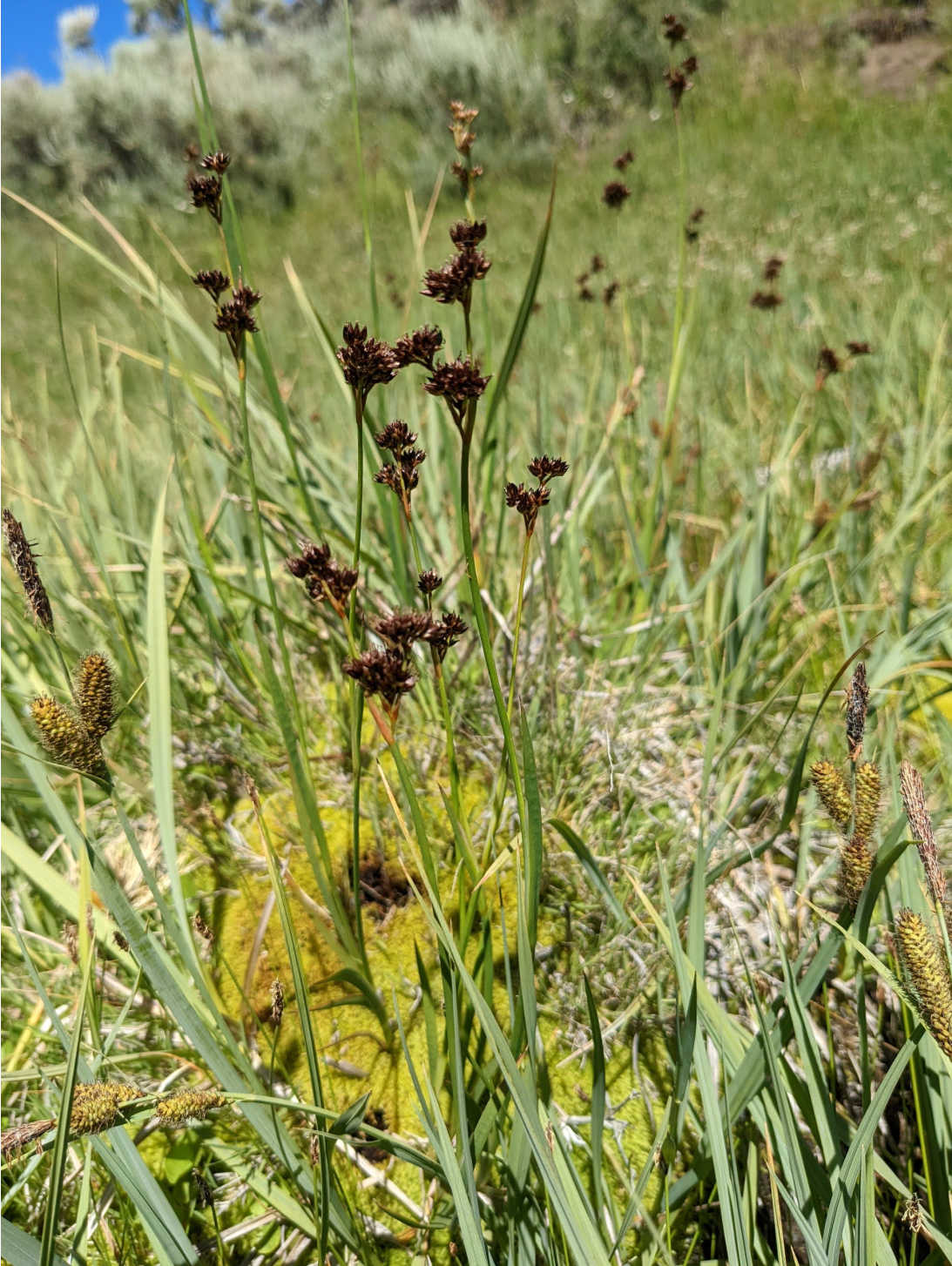
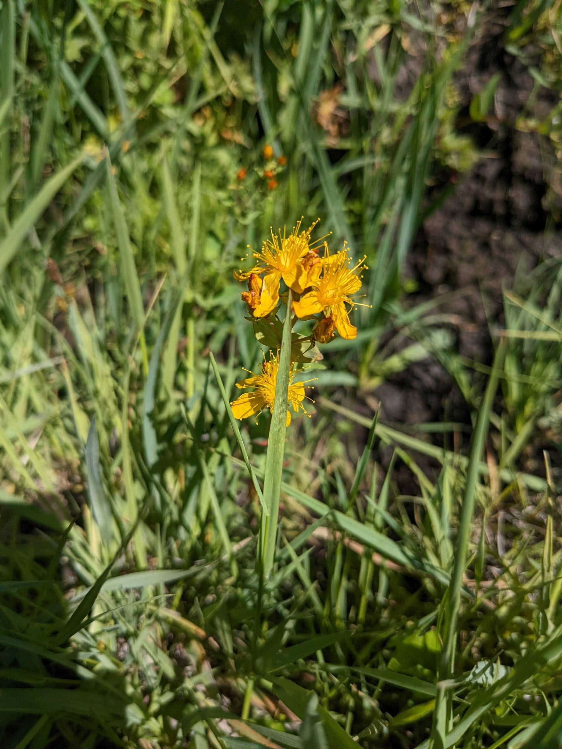
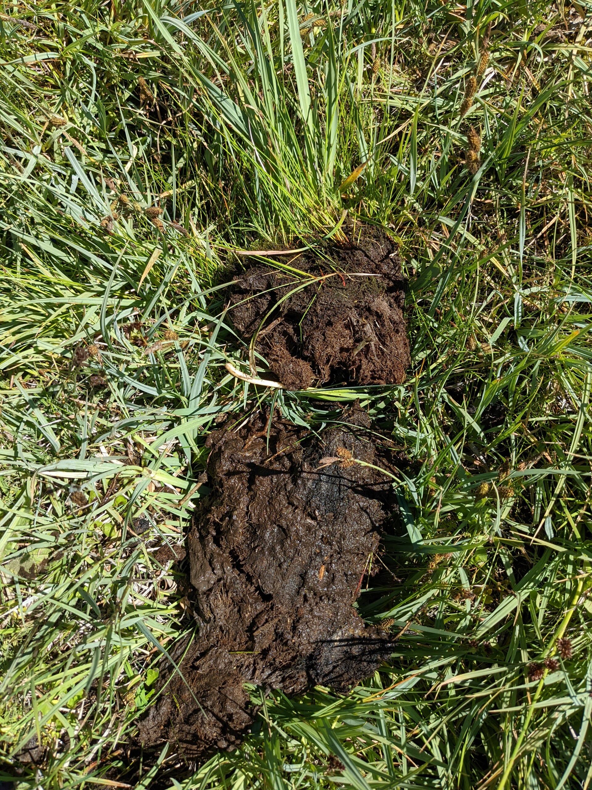
Rachel and I scoured through the meadow searching for new plant species hidden underneath the tall grass. Over here a patch of Allepo Avens (Geum aleppicum). Over there the green burs of MaCoun’s Buttercup (Ranunculus maccounii). As I walked in the upstream section of the plot, I found bright yellow St. John’s Wort (Hypericum scouleri), brown ruffled spheres of Sword-leaf Rush (Juncus ensifolious), and small blue flowers of Sessile Speedwell (Veronica catenata) growing out of the slope at the eastern edge. Wait, what was St. John’s Wort and Water Speedwell doing here? They prefer saturated conditions, where the soil never dries throughout the growing season. I pressed my hand against a small bare side of the slope and found saturated soil! I started looking around me and noticed a stark transition from meadow grasses to shorter stature of Northwest Territory Sedge and light blue leaves of Water Sedge (Carex aquatilis), obvious indicators of wetter conditions. There is water flowing underneath our feet. I scraped off a small piece of soil near the St. John’s Wort and rubbed it between my fingers: greasy, black, and that distinct peaty smell.
Wetland plants found in the seep peatland.
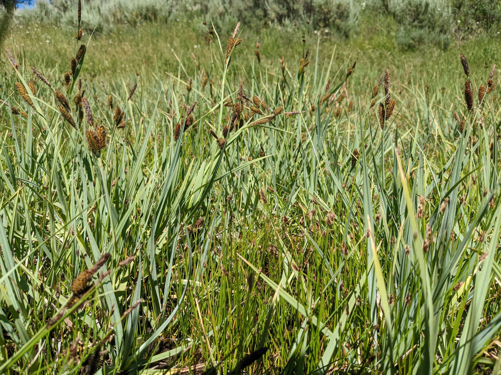
Top left: Sword leaf rush; top right: St. John’s wort; bottom: Water sedge
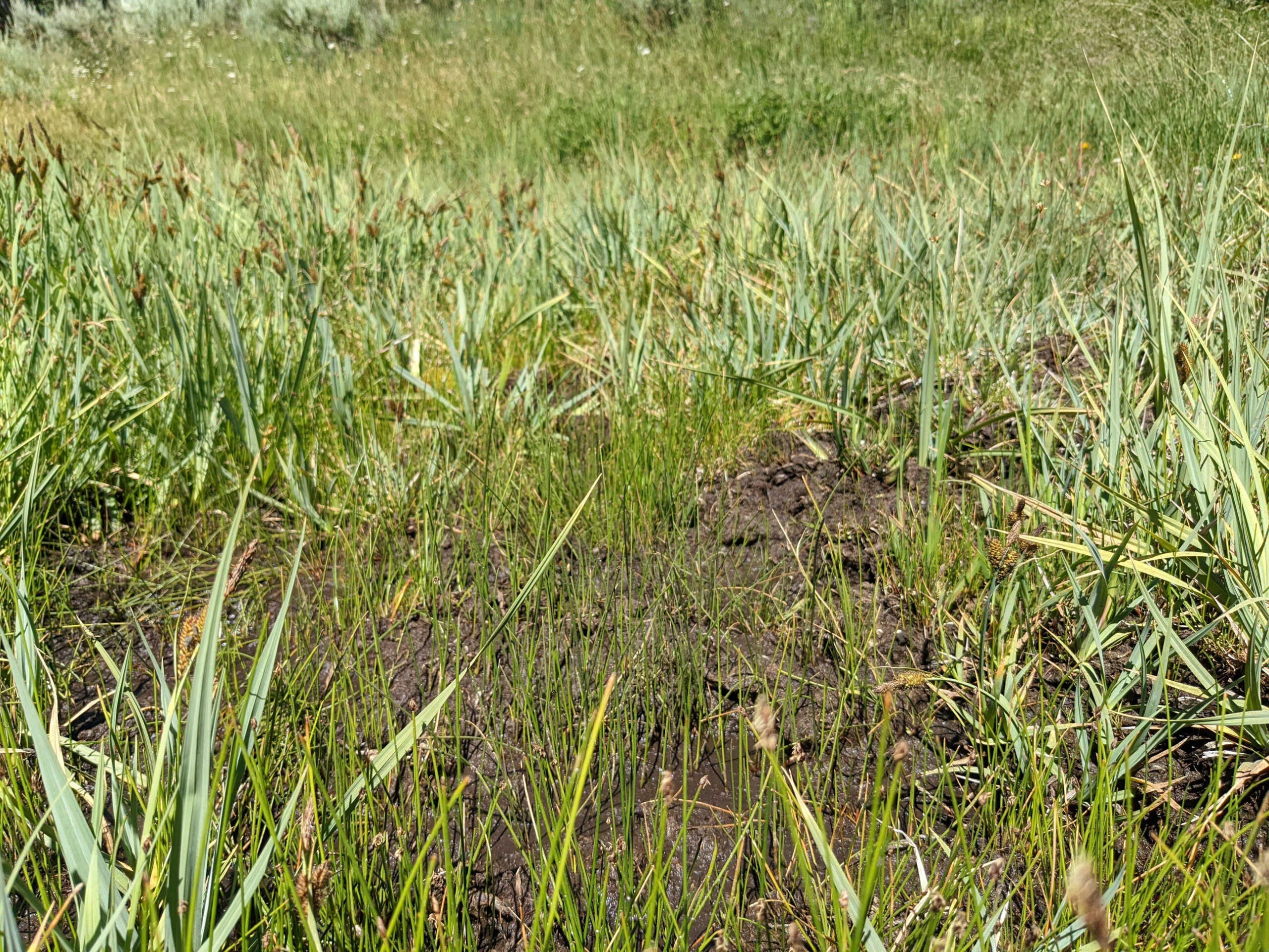
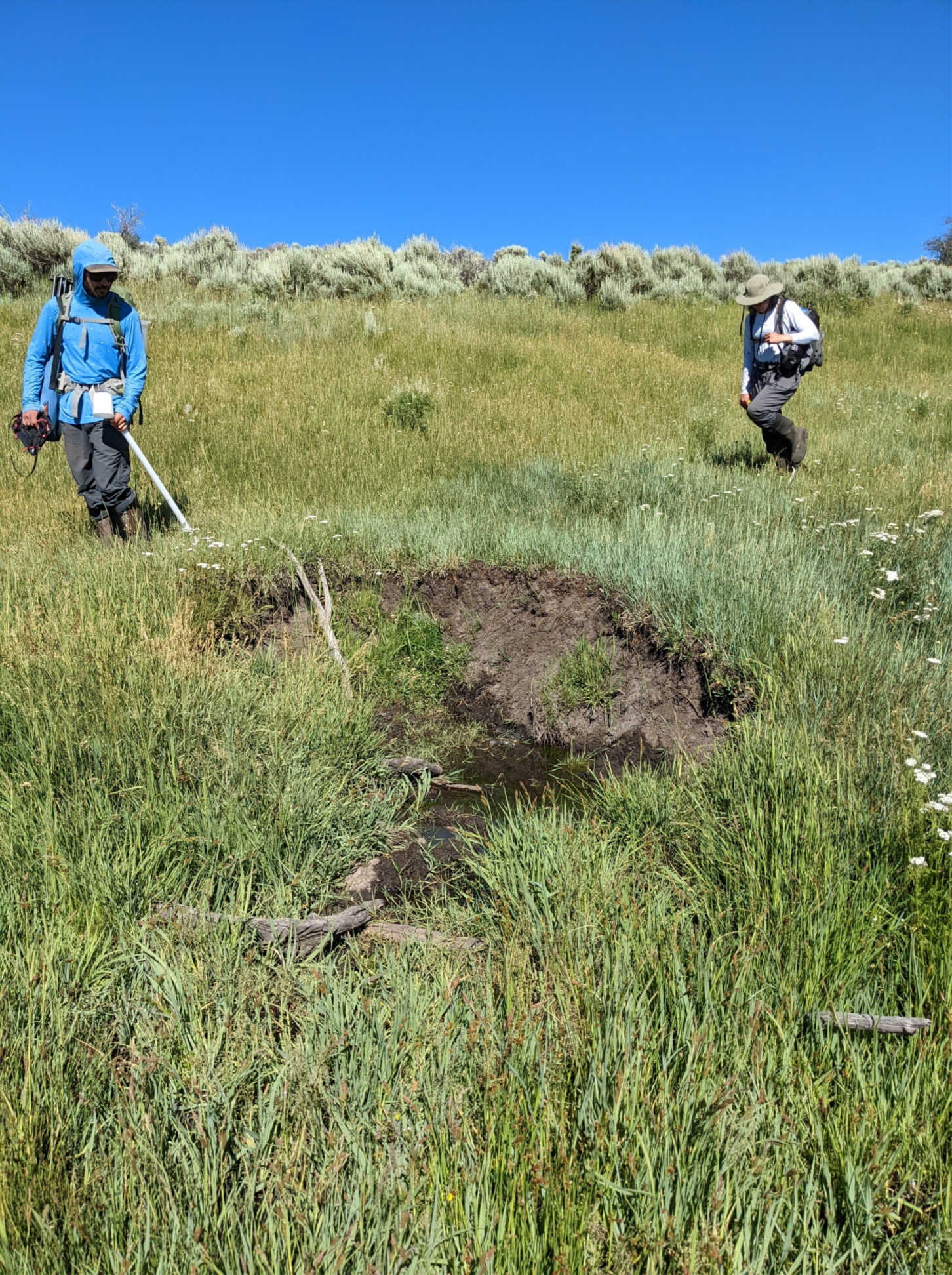
A narrow 10 – 15 m band of unstable, saturated soil stretched across the width of the meadow with small patches of sparsely vegetated mud and sedges just downstream. I called Rachel and Ben over to check out this amazing find. As we walked through the site, the ground wobbled underneath our feet. At times the ground sagged under our weight, bursting with the smell of rotten eggs. The small muddy patches were dominated by Common Spikerush (Eleocharis palustris), Cursed Buttercup (Ranunculus scleratus), and Drooping Woodreed (Cinna latifolia). I got down onto my stomach to check out the flowers on the Cursed Buttercup, not caring about getting covered in mud. I pressed my foot into the mud and felt little support for my weight.
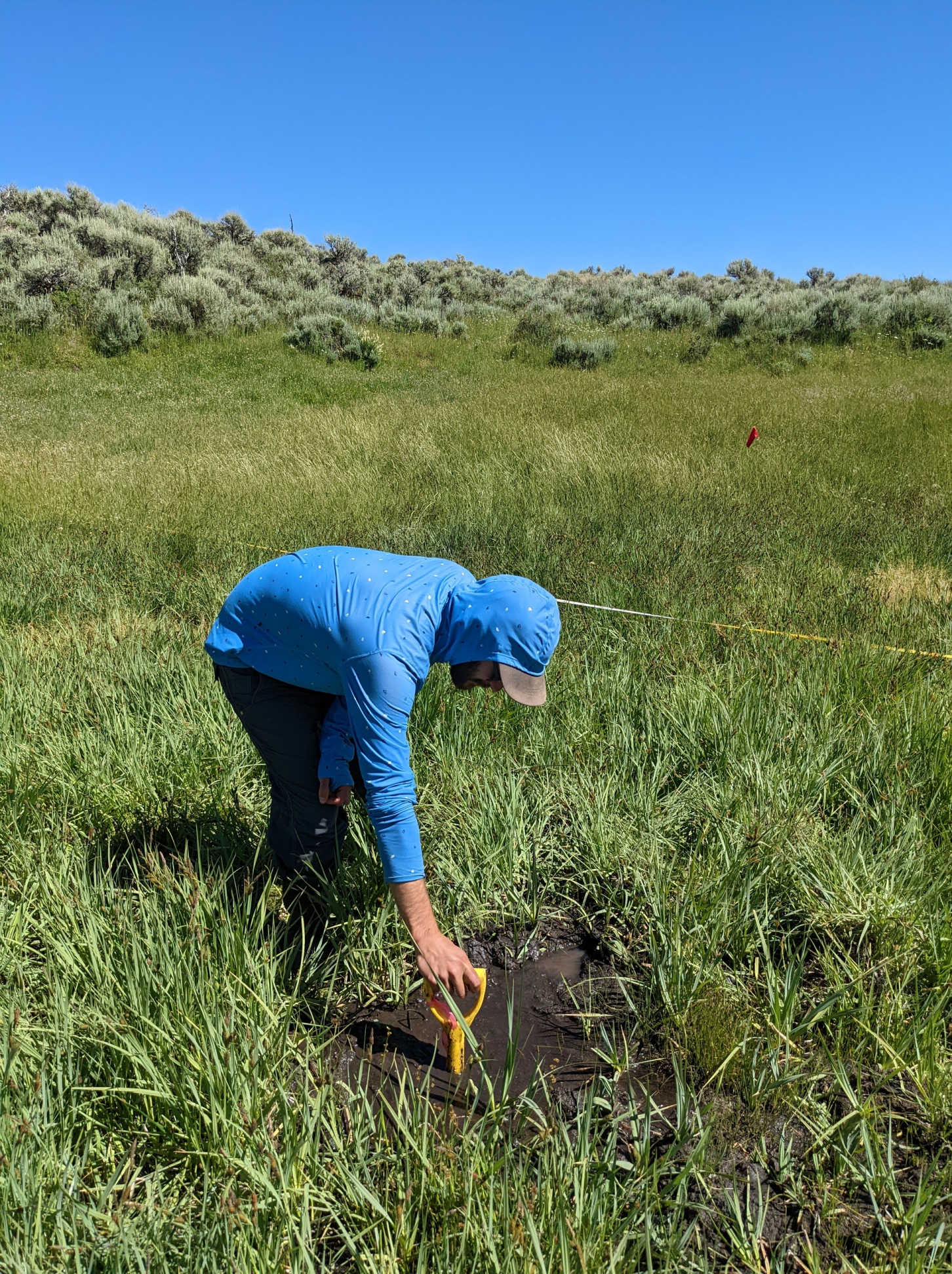
As we walked around, we found several “pools” of mud. Ben used our soil pit shovel to measure the depth of the pool. The pool was deeper than the shovel, causing Ben to almost lose his tool to the muddy abyss. Around each of the pools, the peat felt as if it was floating on an underground lake. As Rachel and Ben shook the ground, the ripples waved out for at least 3 – 5 meters. I walked back to the wall of mud in the slope wall and dug a quick 30-centimeter soil pit. The soil pit was a perfect example of the decomposition of organic matter in peatlands – transitioning slowly from fibric (least decomposed) to histic to sapric. The ground never fully dried out during the growing season, allowing for the build-up of organic matter and creation of a small peatland within the meadow. Based on estimates of peat build up of 1 mm per year, our small peatland may have been at least 300 years old!
Ben measures the depth of the peatland.
Soil pit comprising peat.
Importance of Seeps in the Dry West
Seeps are essentially the groundwater equivalent of springs or springheads. Springs are locations where regional groundwater accumulates at a specific point and creates surface water flow. Seeps essentially are springs except it is the accumulation of large amount of groundwater flow, never truly manifesting in sustained surface water flow. Since seeps are supplied by groundwater and local aquifers, fluctuations in temperature, conductivity, and pH are typically minimal and create relatively stable conditions for unique set of flora and fauna. In our case in the high desert of northwest Colorado, the seep created conditions to support water-loving vegetation typically seen in bogs, fens, and streambanks! Seeps and springs create heterogeneity within the larger dry landscapes of western Colorado, providing valuable habitat for rare plant species and food for migrating birds. Since seeps are dependent on groundwater recharge from precipitation and snowpack, they are ever increasingly vulnerable to climate change and the greater drought in the West. The importance and fragility of seeps and springs in the West, including Colorado, has been understood by various conservation organizations including the BLM and National Park Service. For example, the BLM has contracted Colorado Natural Heritage Program to develop an inventory of seeps and springs across their properties around Grand Junction, Ouray, Gunnison, and Meeker, Colorado.
Onto the Next Wetland
After playing in the peat and mud, we returned to our tasks in the meadow and wrapped up our monitoring. As we walked down the vegetated drainage back to our truck, we saw our route with new eyes. We observed the pattern in our plot continued downstream: meadow grasses transitioning to Northwest Territory and Water Sedge and patches of spikerush. We walked out into the sedges and began to push down the with our feet. The ground wobbled and wiggled underneath us and rotten eggs wafted into the air. I still felt like a kid in a candy store.
Grant McKown, a former wetland botany technician and crew leader for the
Colorado Natural Heritage Program in
Salt Marsh and Wetland Ecology, Botany, and Restoration, is now working for the Coastal Resiliency and Restoration Lab at the University of New Hampshire as a research technician.
