
Harley Pass
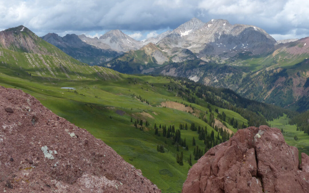
This is a view from Harley Pass overlooking the trail through meadows of wall-to-wall wildflowers and beyond to Snowmass Peak. Snowmass Peak is often mistaken for Snowmass Mountain, the ski area, but it is actually a lower end of Hagerman’s Peak eastern edge;...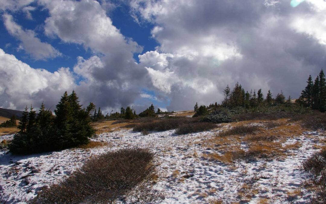
Spruce-fir Islands, Georgia Pass
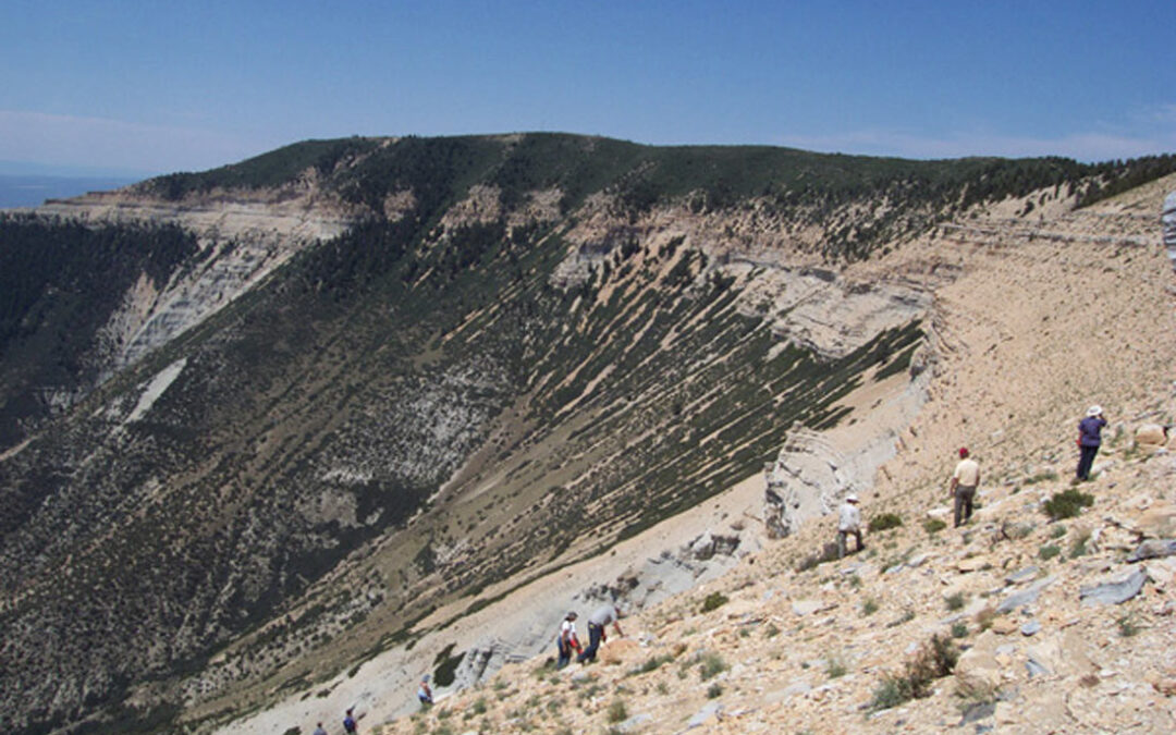
Spruce-Fir island in the subalpine zone. Photo by Mo Ewing. Spruce-Fir island in the subalpine zone at Georgia Pass. Georgia Pass is located on Forest Road 355 on the border between Jefferson and Summit Counties. Ute and Arapaho native Americans first used the pass...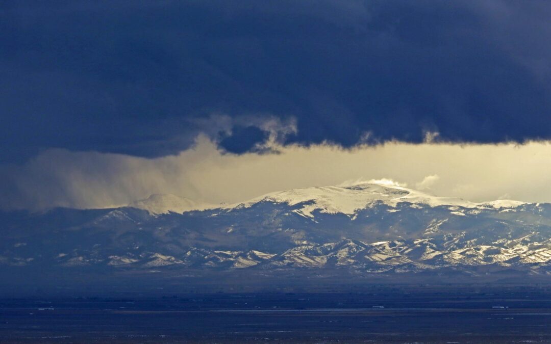
Great Sand Dunes National Park
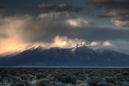
Great Sand Dunes National Park, San Luis Valley, Sangre de Christo Range protects 149,028 acres and the tallest sand dunes in North America, which cover 30 square miles and are 750 feet tall. Photo by Dave Elin, 3rd place finisher in 2016 CoNPS photo contest. Photo by...